
How to Find Sewer Maps for Planning: A 2026 Guide
Table of Contents
- What Sewer Maps Show and Why Planning Needs Them
- The Sewer Map Request Process: A Step-by-Step Guide
- Accessing Public Sewer Records and Online Portals
- When You Need a Drainage Survey for Planning Permission
- Building Over a Public Sewer: Rules and Restrictions
- DIY vs Professional Utility Mapping: What Works
- Common Mistakes to Avoid with Sewer Map Requests
- Frequently Asked Questions
Last Updated: September 15, 2026
What Sewer Maps Show and Why Planning Needs Them
Sewer maps are technical drawings that record the position, depth, diameter and ownership of public sewers, water mains and other underground assets serving a property or development site. Anyone asking how to find sewer maps for planning is really asking two questions: who holds the records, and how do you read what they send you.
A common pattern shows up again and again: a homeowner submits a planning application, the local planning authority flags a drainage concern, and the project stalls while everyone works out what is actually underground.
The reason it matters is straightforward. A public sewer running beneath your site gives the water authority rights over that pipework, and those rights shape where you can build, extend or plant. A drainage layout that ignores them will be refused or conditioned. Get the records first, and the design starts from facts rather than guesswork.
The Sewer Map Request Process: A Step-by-Step Guide
The process has three stages: identify who owns the asset, submit a formal request with the correct fee, then interpret the technical drawings you receive. Most delays come from skipping stage one, because the records are fragmented across regional bodies and historic sources.
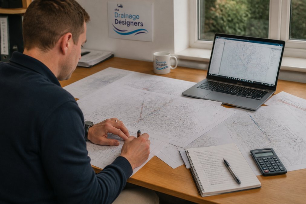
Step 1: Identify the Relevant Authority
Sewerage and water infrastructure is managed by regional water and sewerage companies, each with its own records and request procedure. The first job is confirming which body serves your site, and that depends on where you are.
In England and Wales, most areas are served by a single water and sewerage company that handles both supply and wastewater (ofwat.gov.uk). Some areas have a separate wastewater-only company, so you may need to contact two organisations. In Scotland, Scottish Water manages both water and sewerage (scottishwater.co.uk). In Northern Ireland, NI Water holds the records.
Two checks settle it quickly:
- Enter the postcode into the relevant water company’s “who is my supplier” tool
- Confirm whether the site sits in an area served by a separate wastewater-only company
If the property predates privatisation, records may also sit with the local authority as part of historic drainage applications. A site investigation usually reveals which source holds the useful data. For older sites, it is common to find that the water company holds the asset records while the council holds the planning history, and you need both.
Step 2: Submit Your Request and Pay Any Fees
Most authorities accept requests through an online form or a dedicated asset protection team. You will typically need the site address, a plan showing the property boundary, and contact details. Some authorities ask for a grid reference or a plan at a specific scale.
Fees vary by authority and by the size of the search area, so check the current charges on the authority’s own website rather than relying on second-hand figures. Turnaround times also differ, and a request marked urgent rarely speeds up a statutory record search. Standard searches typically take several working days, while larger or more complex requests can take longer.
Step 3: Interpret the Records You Receive
What arrives is rarely a single tidy drawing. Expect a combination of asset plans, pipework location data and sometimes a geographic information system export. Look for pipe diameter, invert level, material and direction of flow.
Invert levels are the number most people skim past and later need. They tell you the depth and fall of the pipe, which determines whether your proposed connection can achieve gravity drainage or needs a pump chamber. Note them on your first read-through.
If you receive a PDF, you can measure approximate distances using the scale bar, but you cannot import it into design software. If you receive a CAD or GIS file, you can overlay it on your site plan and check clearances precisely. Ask the authority what formats they provide before you submit your request, because not all of them offer CAD or GIS as standard.
Accessing Public Sewer Records and Online Portals
Online mapping portals have changed how quickly you can view water and sewer network plans, though they rarely replace a formal search. Most water companies offer a free public viewer showing the approximate line of water mains and public sewers. These viewers are useful for a first look. They are not authoritative. The lines are indicative, often shown at a scale that hides the difference between a pipe running under your garden and one running under your proposed extension.
What the portals typically show is a simplified network: public sewers, water mains, and sometimes treatment works or pumping stations. They usually do not show private drains, lateral connections, or the exact depth of assets. Some portals let you search by postcode or address, while others require you to navigate a map manually. A few provide a measurement tool, but the accuracy is not survey-grade.
For anything that will be submitted with a planning application, request the formal records. A utility search of this kind gives you the spatial data the authority will actually rely on, and it creates a paper trail if a dispute arises later.
The gap most guides miss is how to read the map once you have it. Sewer maps use standard symbols: a solid line often indicates a public sewer, a dashed line may indicate a private drain or a proposed pipe, and circles or squares can denote manholes, gullies, or inspection chambers. Invert levels are usually shown as a number with a datum reference, and pipe diameters are given in millimetres. If the legend is missing, ask the authority for it. Interpreting these symbols correctly is what turns a map into a usable planning document.
Water UK public sewer records guidance
When You Need a Drainage Survey for Planning Permission
A drainage survey for planning permission becomes necessary when the desk-based records are incomplete, ambiguous or contradicted by what is on the ground. The records tell you what should be there. A survey tells you what is.
Situations that call for one include:
- Records showing no public sewer where one is suspected
- Proposed works within the zone of influence of a mapped pipe
- A site with historic drainage that does not appear on any asset plan
- Any development requiring a drainage strategy or flood risk assessment
A survey typically combines CCTV inspection of pipework with a physical trace of runs and connections. The output is survey data you can hand to a designer, and it resolves the questions a map alone cannot answer.
Building Over a Public Sewer: Rules and Restrictions
Building over a public sewer is restricted because the water authority retains rights of access for maintenance and repair. In practice, this means a build-over agreement is usually required before any structure is placed over or within a set distance of a public sewer.
The restrictions exist for good reason. If a pipe fails beneath a building, the authority needs to reach it without demolishing your extension. That is why the approval process focuses on protection measures, foundation design and, in some cases, diverting the sewer entirely.
Starting work before a build-over agreement is in place is one of the most expensive mistakes on a development site. If the authority later requires the sewer to be diverted, the cost and delay fall on you, and the work may have to be undone.
Where diversion is unavoidable, it forms part of the drainage design and needs to be reflected in the drawings submitted for approval.
DIY vs Professional Utility Mapping: What Works
DIY utility mapping works for a rough early check and nothing more.
| Approach | Accuracy | Suitable For | Main Limitation |
|---|---|---|---|
| Free online portal | Indicative only | Early feasibility | Lines not survey-grade |
| Historic plans | Variable | Older sites | Often out of date |
| Formal record request | Authoritative | Planning applications | Fees and lead times |
| Professional survey | Highest | Build-over, complex sites | Requires site access |
Use free portals to decide whether a site is worth pursuing. Use formal records and, where needed, a survey to design against. Mixing the two purposes is where projects come unstuck.
Common Mistakes to Avoid with Sewer Map Requests
Three others come up repeatedly:
Frequently Asked Questions
How do I find drainage plans for my house online for free?
You can request sewer records from your local water authority, though most charge a fee for this service. Some authorities offer online mapping portals where you can view public sewer and water main locations at no cost. These portals show the approximate position of underground assets but are not a substitute for a full utility search. For planning applications, you will usually need official records or a professional drainage survey for planning permission, as free online tools lack the detail and accuracy required.
What is the difference between a public sewer and a private drain?
A public sewer is maintained by the water authority and typically serves multiple properties. A private drain serves a single property and is the homeowner’s responsibility until it connects to the public network. Since 2011, most drains that serve more than one property and connect to the public sewerage system have been transferred to water authority ownership. Understanding this distinction matters for planning because building over a public sewer requires formal permission, while private drains have different rules.
Does the Land Registry show drainage and sewer locations?
The Land Registry does not typically show drainage or sewer locations on title plans. Title plans show property boundaries and some physical features, but underground assets like pipework location and sewage network infrastructure are not included. For drainage layout and infrastructure plans, you need to contact the local water authority directly or commission a utility search. A drainage survey for planning permission will provide the accurate spatial data you need for your application.
Why do I need sewer maps for a planning application?
Planning authorities and Lead Local Flood Authorities need to confirm your development will not damage or obstruct underground assets. Sewer maps show where public sewers, water mains and drainage infrastructure run beneath your site. If your plans involve building over a public sewer, you must demonstrate compliance with building regulations and obtain permission. Providing accurate utility mapping with your application reduces the risk of rejection and speeds up the approval process.