How to Check if Your Property Is in a Flood Zone
Table of Contents
- How to Check if Your Property Is in a Flood Zone: Step by Step
- What Are Flood Zones 1, 2, and 3: Understanding Categories
- Flood Risk Assessment for Planning Permission: What You Need
- Drainage Strategy Requirements for Flood Zones
- What Your Flood Zone Result Means for Your Property
- Accessing Flood Warnings and Live Monitoring
- Next Steps After Checking Your Flood Zone
Last Updated: August 29, 2026
How to Check if Your Property Is in a Flood Zone: Step by Step
Knowing whether your property sits in a flood zone is essential for property buying, building, or extension work. This guide from The Drainage Designers explains how to check flood zone status, interpret results, and understand what those findings mean for your insurance, property value, and resilience planning.
Step 1: Use the Government Flood Map Tool
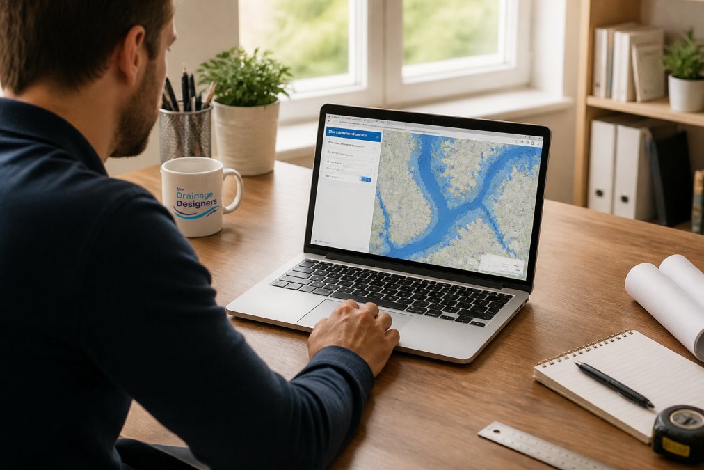
The government provides a free online flood map covering all properties in England. Visit the official Environment Agency flood map portal to access it. The tool displays modelled risk based on historical data and hydrological analysis. Enter your postcode or property address and receive instant results showing whether your property falls within a designated flood zone.
Step 2: Search by Postcode or Property Address
Enter your full postcode into the search field for the quickest results. You can also search by property address for greater precision. The tool displays a map centred on your location showing your property’s position relative to flood zones and flood defences. Colour-coded zones represent different probability levels: green indicates low probability, amber indicates medium probability, and red indicates high probability.
Step 3: Interpret Your Results
The flood map shows your property’s position within one of three flood zone categories, each reflecting a different annual exceedance probability. Understanding these categories is critical because they determine planning requirements, insurance eligibility, and resilience measures you may need to implement.
The map also displays flood defences in your area. Even if your property is in a higher-risk zone, nearby defences may reduce your actual risk. Pay attention to specific details shown on your map: any nearby watercourse, distance to flood defences, and whether your property is in a floodplain.
Step 4: Check for Surface Water Flooding Risk
The government flood map focuses primarily on river and sea flooding. Surface water flooding occurs when heavy rainfall overwhelms drainage systems and water pools on the ground surface, regardless of proximity to a watercourse. Access the Environment Agency’s surface water flood risk map by entering your postcode again. Surface water flooding can affect properties in any location and is particularly common in urban areas with extensive hard surfaces and older drainage infrastructure.
Step 5: Review Long-Term Flood Risk Data
The government flood map provides long-term flood risk data including historical flooding incidents, modelled scenarios, and predicted changes over time. The data shows patterns across different rainfall intensities and return periods. A 1-in-100-year flood is more severe than a 1-in-30-year flood. Understanding these distinctions helps you make informed decisions about drainage design and property protection measures.
What Are Flood Zones 1, 2, and 3: Understanding Categories
Flood zones are defined by annual exceedance probability, which expresses the likelihood of flooding in any given year.
Flood Zone 1: Low Probability
Flood Zone 1 represents the lowest flood risk category. Properties in this zone have less than a 1-in-1,000 annual probability of river or sea flooding, meaning the statistical likelihood of flooding in any given year is below 0.1 per cent (gov.uk). Most residential extensions and new builds in this zone proceed without requiring a detailed flood risk assessment. However, surface water flooding may still pose a risk even in Zone 1 areas. Insurance for properties in Flood Zone 1 is typically straightforward to obtain and competitively priced.
Flood Zone 2: Medium Probability
Flood Zone 2 represents medium flood risk. Properties in this zone have between a 1-in-100 and 1-in-1,000 annual probability of river or sea flooding (gov.uk). Planning applications for properties in Flood Zone 2 require a flood risk assessment for most development types. Your local authority will expect evidence that the development has considered flood risk and incorporated appropriate mitigation measures. Insurance availability for Zone 2 properties is generally good, though premiums may be higher than for Zone 1.
Flood Zone 3: High Probability
Flood Zone 3 represents the highest flood risk category. Properties in this zone have a greater than 1-in-100 annual probability of river or sea flooding (gov.uk). Development in Flood Zone 3 requires a detailed flood risk assessment and evidence of flood mitigation. New residential buildings are generally not permitted in this zone unless there is no alternative location and specific exceptions apply. Insurance for properties in Flood Zone 3 can be challenging to obtain. Some insurers decline to cover these properties, whilst others apply substantial premiums.
Flood Risk Assessment for Planning Permission: What You Need
When you apply for planning permission for a new building, extension, or change of use, your local authority will expect evidence that flood risk has been properly assessed. For properties in Flood Zone 1, a flood risk assessment is usually not required unless your development is unusually large. For Flood Zones 2 and 3, or for surface water flooding concerns, a formal assessment becomes mandatory.
A flood risk assessment examines your property’s location, the surrounding catchment area, historical flooding data, and the impact of your proposed development on flood risk. The Lead Local Flood Authority in your area may also review your assessment. Professional guidance from drainage specialists is invaluable at this stage.
Drainage Strategy Requirements for Flood Zones
Your flood zone category directly influences the drainage strategy your development must follow. For Flood Zone 1 properties, a basic drainage strategy that complies with building regulations is usually sufficient. For Zones 2 and 3, you’ll need evidence of Sustainable Drainage Systems (SuDS) implementation. SuDS mimic natural drainage processes by allowing water to infiltrate, evaporate, or flow slowly into watercourses rather than being discharged rapidly into existing systems.
Your drainage strategy must address both foul drainage (sewage) and surface water drainage (rainwater). It must also consider the impact on neighbouring properties and the wider catchment. Working with experienced drainage professionals ensures your strategy is strong, compliant, and fit for purpose. At The Drainage Designers, we design drainage solutions tailored to your specific flood zone, property characteristics, and local requirements.
What Your Flood Zone Result Means for Your Property
Understanding your flood zone category is only the first step. The real implications emerge when you consider how that result affects your insurance, property value, and long-term resilience planning.
Impact on Home Insurance
Your flood zone category directly influences your insurance premiums and coverage options. Properties in Flood Zone 1 typically face no flood insurance loading and can access standard home insurance products from most providers. Properties in Flood Zone 2 may experience premium increases, depending on the insurer and your specific risk profile. Properties in Flood Zone 3 face the greatest insurance challenges. Some mainstream insurers decline to cover these properties entirely. Flood resilience improvements can help reduce insurance costs.
Property Value Implications
Flood zone status influences property value, particularly in higher-risk areas. Properties in Flood Zone 1 experience no flood-related value impact. Properties in Flood Zone 2 may see modest value reductions compared to equivalent Zone 1 properties. Properties in Flood Zone 3 can experience more significant value reductions, reflecting the genuine risks involved and planning restrictions that limit future development. When buying or selling a property, flood zone status must be disclosed.
Flood Resilience and Mitigation Measures
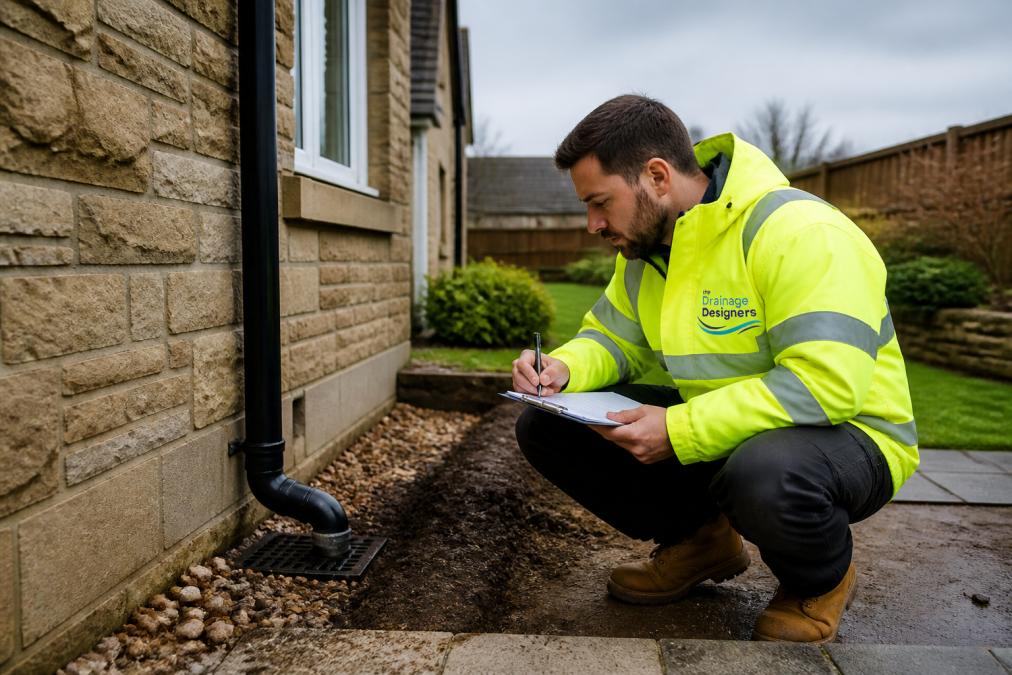
Regardless of your flood zone, implementing resilience measures protects your property and demonstrates proactive risk management. Basic measures include keeping gutters clear, ensuring downpipes direct water away from the property, and maintaining garden drainage. For properties in Zones 2 and 3, more substantial measures become worthwhile, including raised electrics and appliances, flood-resistant materials in vulnerable areas, and installed flood barriers. Sustainable Drainage Systems represent a longer-term investment. The Drainage Designers can assess your property’s specific vulnerabilities and recommend tailored measures.
Accessing Flood Warnings and Live Monitoring
Beyond understanding your long-term flood zone category, you should register for flood warnings and monitor live flood conditions during periods of heavy rainfall or high water levels. The Environment Agency operates a free flood warning service. You can register to receive alerts by email, text, or phone when flooding is predicted in your area. Live flood monitoring data is also publicly available, allowing you to check real-time river levels and rainfall data during periods of concern.
Next Steps After Checking Your Flood Zone
Once you’ve identified your flood zone and understood the implications, several practical next steps follow. If you’re buying a property, obtain a full flood risk assessment from a surveyor and discuss flood risk with your lender and insurance broker. If you own a property in a higher flood zone and are planning work, engage a drainage professional early. For all properties, maintain awareness of flood warnings during periods of heavy rainfall and register for alerts.
If you’re undertaking a new build, extension, or renovation, flood risk assessment and drainage design should be integral to your planning process. The Drainage Designers offer comprehensive support from initial site visits through to final approvals. Our team ensures your drainage strategy satisfies planning requirements, protects your property, and delivers long-term resilience. Get in touch to discuss your specific requirements and how we can support your project’s success.
Understanding your flood zone is a critical first step in protecting your property and ensuring planning success. The government flood map provides free, accessible information that informs decisions about insurance, property value, resilience, and development planning. By checking your flood zone, interpreting the results, and implementing appropriate measures, you position your property for long-term protection and compliance. Professional guidance from experienced drainage specialists ensures your approach is strong, proportionate, and aligned with local authority expectations.
Frequently Asked Questions
How do I check if my house is in a flood risk area?
Use the government's Flood Map for Planning by entering your postcode or property address. The tool displays whether your property falls within Flood Zone 1, 2, or 3 based on river and sea flooding probability. You can also check the Long-Term Flood Risk map to assess surface water flooding risk. These free tools provide your initial flood zone classification, though a detailed flood risk assessment may be needed for planning applications.
What do Flood Zones 1, 2, and 3 mean?
Flood Zone 1 indicates low probability of flooding (less than 1 in 1,000 annual exceedance probability). Flood Zone 2 shows medium probability (between 1 in 100 and 1 in 1,000 for river flooding). Flood Zone 3 represents high probability (greater than 1 in 100 annual exceedance probability). Your zone determines planning requirements, drainage strategy obligations, and insurance implications. Understanding these categories helps you assess property risk and compliance needs.
Do I need a flood risk assessment for a planning application?
If your property is in Flood Zone 2 or 3, or if your development involves a change of use to more vulnerable land use, a flood risk assessment is typically required. The assessment examines site-specific hydrological data, modelled risk, and flood defences to inform your drainage strategy. Local planning authorities and Lead Local Flood Authorities use these assessments to determine compliance. Even in Flood Zone 1, major developments may require one. Check with your local authority before submitting plans.
How does being in a flood zone affect my drainage strategy?
Your flood zone category directly influences drainage strategy requirements. Flood Zone 3 properties must incorporate Sustainable Drainage Systems (SuDS), flood resilience measures, and property protection strategies. Surface water management becomes critical, as you must demonstrate how your design handles peak rainfall and reduces runoff. Your catchment area characteristics, watercourse proximity, and existing flood defences all shape the strategy. Professional drainage design ensures compliance with Lead Local Flood Authority standards and maximises planning permission success.
This article was written using GrandRanker